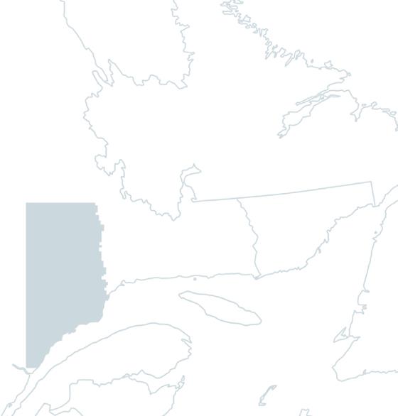
Fishing the

Escoumins River

In brief

Des Escoumins River

The Rivière des Escoumins rises in the Canadian Shield, at an altitude of over 600 metres. The 84 kilometer long river flows from northwest to southeast, through a narrow, mountainous valley on the Upper North Shore, before emptying into the St-Laurent Estuary in the municipality of Les Escoumins, 40 kilometers east of Tadoussac. Salmon fishing is available along 35 kilometers of the river.

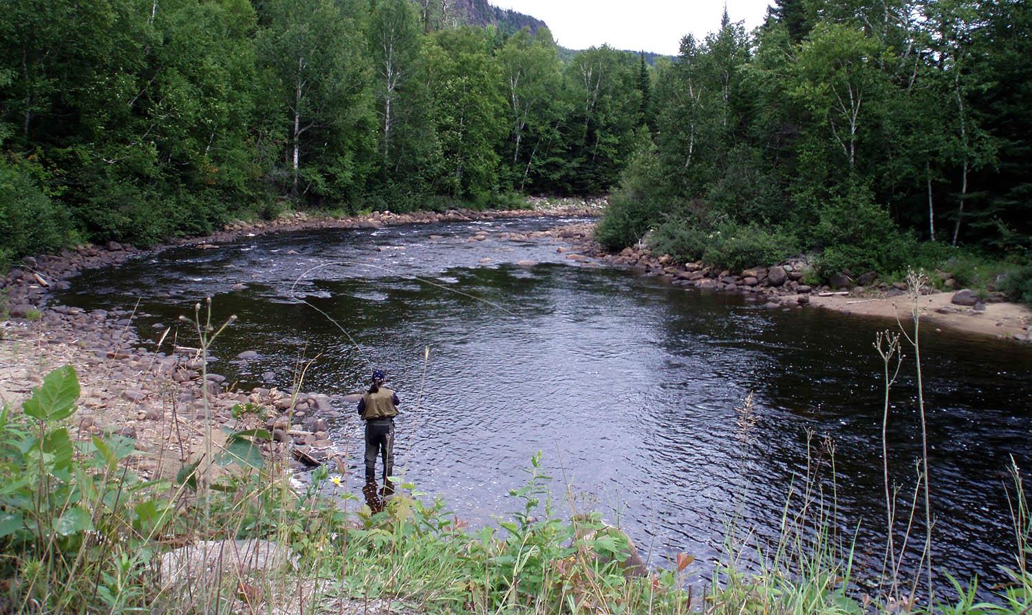
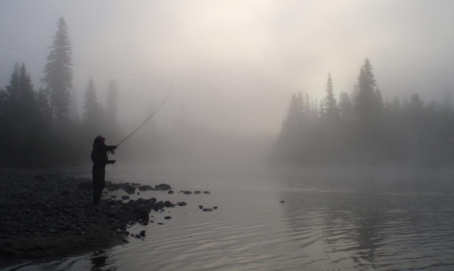
The fast-flowing Rivière des Escoumins has a bed of gravel, boulders and cobbles, and its waters are tea-colored, changing little after a heavy rain. Salmon fishing is available by wading or canoe in 66 small, generally shallow pools. A logging road runs alongside the river, following its contour or not far from it, which simplifies access to the pools.

Before log driving in the 19th century, the Rivière des Escoumins enjoyed an excellent reputation for sport salmon fishing, with catches regularly reaching over 13 kilograms. In the 1980s, sustained community efforts led to a renaissance of the sport. Finally, in 2013, the municipal dam built in 1846, a major obstacle to salmon and trout, was dismantled.

For salmon fishing, the territory, which has zec status, is managed by the Corporation de gestion de la rivière à saumon des Escoumins, made up of the Conseil des Montagnais d'Essipit, the municipality of Les Escoumins and fishermen's representatives - a successful partnership, rewarded with tourism awards. Sea trout are also caught here.

Services offered

  • Camping

  • Equipment rental

  • Companion

Conditions

River manager

Zec Rivière Escoumins

Online services
Lenght

35 kilometers open for fishing

Type of fishing possible

Wading

Fishing season

June 1st to September 15

Sectors and pools

66 pools divided into 4 sectors, including 2 with restricted access and 2 public

Daily catch limit per angler

https://www.quebec.ca/tourisme-et-loisirs/activites-sportives-et-de-plein-air/peche-sportive/

North-Shore Manicouagan

Carte - North-Shore Manicouagan

Access to the region

The main access route to the towns along the Manicouagan region's coastline is Route 138, also known as the Whale Route, which runs east along the St-Laurent for some 300 kilometers. Route 172, along the Saguenay Fjord, takes you to Sacré-Coeur, the last stop in the region. You can get there by ferry from the south shore of the St-Laurent, by bus or by train.

Magnificent nature

Four rivers flow through a region bathed by thousands of streams and covered by dense forests. The water of these salmon rivers is pure and cold, much to the delight of anglers, who find in the Manicouagan region a queen of nature and rivers brimming with fish and energy. The latter are easily accessible via forestry roads that run parallel to most of the rivers or follow their course.

The water in Manicouagan's salmon rivers is generally amber, flowing through deeply incised valleys surrounded by mountains offering breathtaking panoramas. Flow is often rapid and changeable, sometimes fluctuating significantly after heavy rainfall.

In the most turbulent parts of the current, Atlantic salmon are a guarantee of prowess for anglers. These waters are also home to salmonid cousins such as the anadromous brook trout (sea trout), which promise good catches for anglers. For all these reasons, Manicouagan combines a great wilderness adventure with top-quality fishing, in a calm and enchanting territory.

Image | North-Shore Manicouagan
Bannière | Image