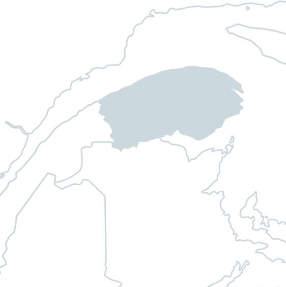
Matapédia River
Forming a natural boundary between the Bas-St-Laurent and Gaspé regions, the Matapédia River rises from a lake bearing the same name. A large part of this watercourse lies within the Matapédia-et-Patapédia River Wildlife Reserve. 112.7 kilometers long, it winds its way through the Matapédia Valley for 65 kilometers, punctuated by rapids, before emptying into the Restigouche River near the municipality of Matapédia. It is often referred to as the "salmon capital".
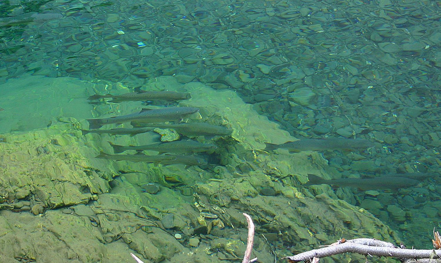
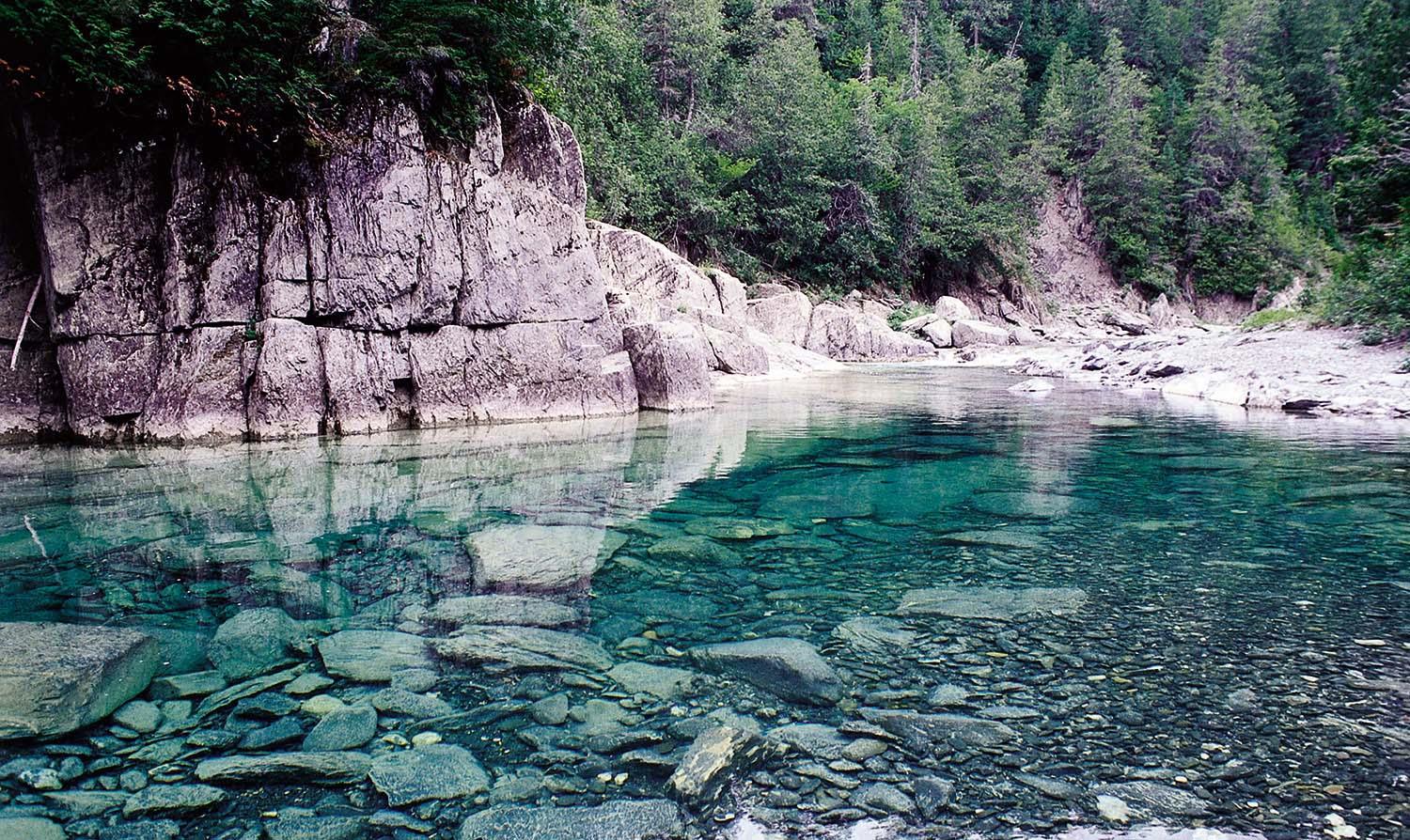
The Matapédia is renowned for the size and number of its salmon, with between 3,000 and 5,000 returning each year, and catches of over 18 kilograms not uncommon. What's more, the run is early, in late May or early June. Easily accessible thanks to Route 132, which runs along its entire length, the Matapedia River boasts 4 fishing sectors and 104 pools located in calm and deep water. Three of these sectors are open access. Sector 2 (Glenn Emma) has restricted access and is very popular with anglers. Fishing is wading in most sectors, although a canoe is preferable in spring.
Considered one of the best salmon rivers in Quebec, this magnificent waterway will appeal to novice and professional anglers alike, with its famous pools, big salmon and superb scenery.
Photo credit: CGRMP
TERMS AND CONDITIONS OF ANNUAL DRAWS
The annual draw for the Matapedia River takes place on November 1st.
For the Glen Emma sector, all rods are allocated during the preseason draw. Winners (ranks 1 to 100) may reserve a maximum of 5 consecutive or non-consecutive fishing days for 1 or 2 people.
Rods still available after the draw will be allocated by telephone on November 25, 2025 starting at 9:00 a.m. for non-winners of the draw and starting at 1:00 p.m. for all anglers.
Haley's pool is available Sundays, Mondays and Thursdays in season. All rods are sold in 48-hour draws. Purchase of 2 rods is mandatory.
For more information on the draws, click here.
To view detailed Matapedia River prizes, click here.