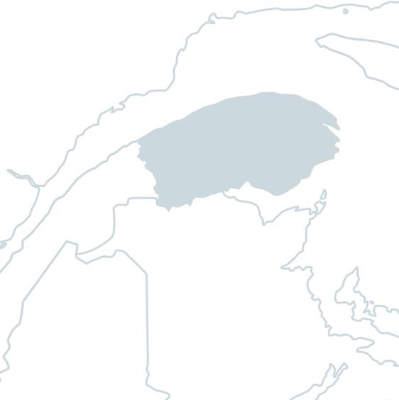
Fishing the

Nouvelle River

Discover a river of crystal-clear waters

In brief

Nouvelle River

The 76 kilometer long Nouvelle River rises in the Chic-Chocs mountains and flows through the village of Nouvelle to its mouth at the western end of Baie-des-Chaleurs.

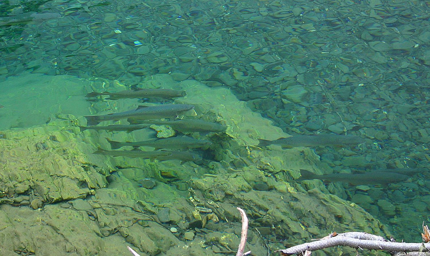
Despite the river's long history of sport fishing, the floating of timber in the late 1960s had a detrimental effect on the salmon. That's why the community, with the help of the Salmon Economic Development Plan, banded together to restore the Nouvelle. Stopping the floating of wood, massive seeding and protection measures gave the marine fauna a new lease on life. The result: in 1997, the river was opened to sport salmon fishing, managed by the Société de restauration et de gestion de la Nouvelle.

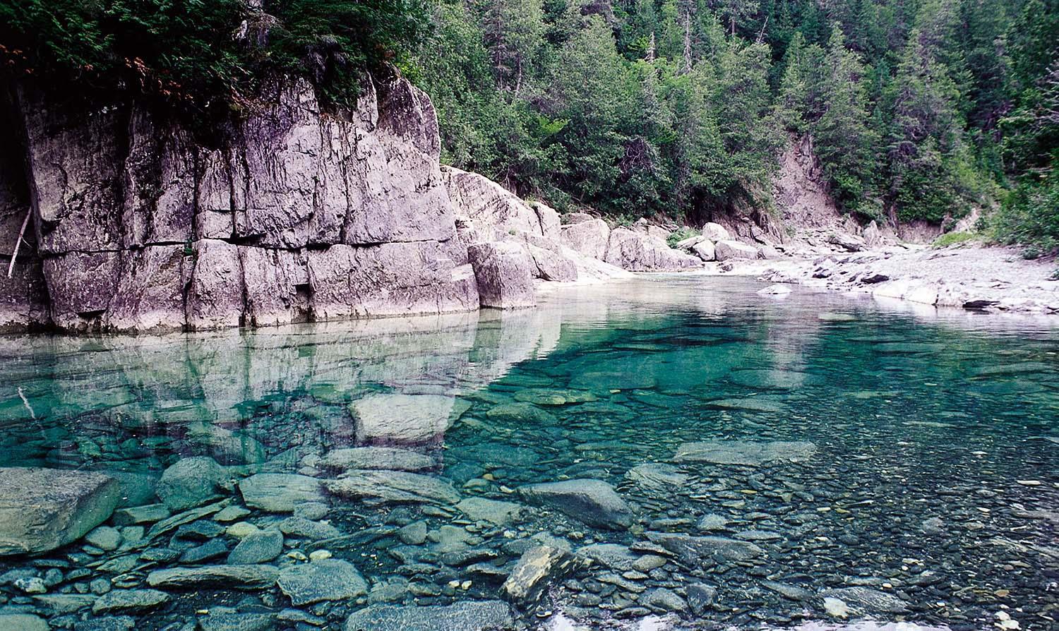
The Micmacs call this river "Tlapatantjitjg", meaning "like potatoes", in reference to its bed of mostly large rocks. It has 7 fishing sectors, 6 public sectors (39 pools) and 1 restricted access draw sector (18 pools), for a total of 57 pools. Unlike other salmon rivers, the fishing tends to improve as the season progresses, probably because the water remains cold and well-oxygenated at all times. Unless there's a flash flood, the water is exceptionally clear.

Fans of sea trout fishing, whose population continues to grow, will be delighted. According to some sources, the largest trout caught weighed over 5 kilograms (11 pounds). You'll love the Nouvelle River if you enjoy a calm, pressure-free fishing environment, surrounded by majestic mountains.

Services offered

  • Camping

  • Equipment rental

  • Cottage

  • Guide

Conditions

River manager

Société de restauration et de gestion de la Nouvelle inc.

Lenght

76 kilometers

Type of fishing possible

Mainly wading

Fishing season

June 15 to September 30

Sectors and pools

57 pools in 7 fishing sectors, including 6 public sectors and 1 restricted draw sector

Daily catch limit per angler

https://www.quebec.ca/tourisme-et-loisirs/activites-sportives-et-de-plein-air/peche-sportive/

Gaspé peninsula

Carte - Gaspé peninsula

Access to the region

The Gaspé peninsula begins at Sainte-Flavie, where Route 132 splits in two to form a loop of some 844 kilometers around the peninsula, known as the "Tour de la Gaspésie". It's at this municipality that you can choose between the southern and northern itineraries. The region is also accessible by bus, train, ferry and air. Air transport is available via the Gaspé, Bonaventure and Mont-Joli airports.

A fishing paradise

Criss-crossing immense valleys, the 22 salmon rivers of the Gaspé Peninsula are renowned for their crystal-clear waters of a thousand shades of turquoise or emerald, flowing over stony beds. While most of these rivers run north-south or south-north, winding their way through the ancient Appalachian massif of the Chics-Chocs mountains, they all flow through a varied and rich wilderness, thanks to the diversity of their microclimates.

These superb rivers, which welcome both experts and novices to salmon fishing, are easily accessible. What's more, these rivers almost always end up in or next to a small, picturesque coastal municipality.

Because the waters of these rivers come from unspoiled nature, they are of impeccable purity and among the clearest in the world. These qualities, combined with the beauty of the environment and the warm welcome of the Gaspesians, have given the region a worldwide reputation as a fishing paradise.

Image | Gaspé peninsula
Bannière | Image