Fishing the

Saint-Jean River Gaspé

Clear water perfect for fishing!

In brief

Saint-Jean River

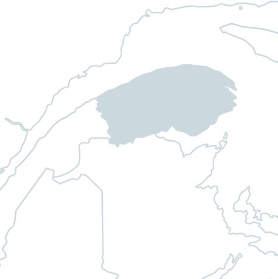
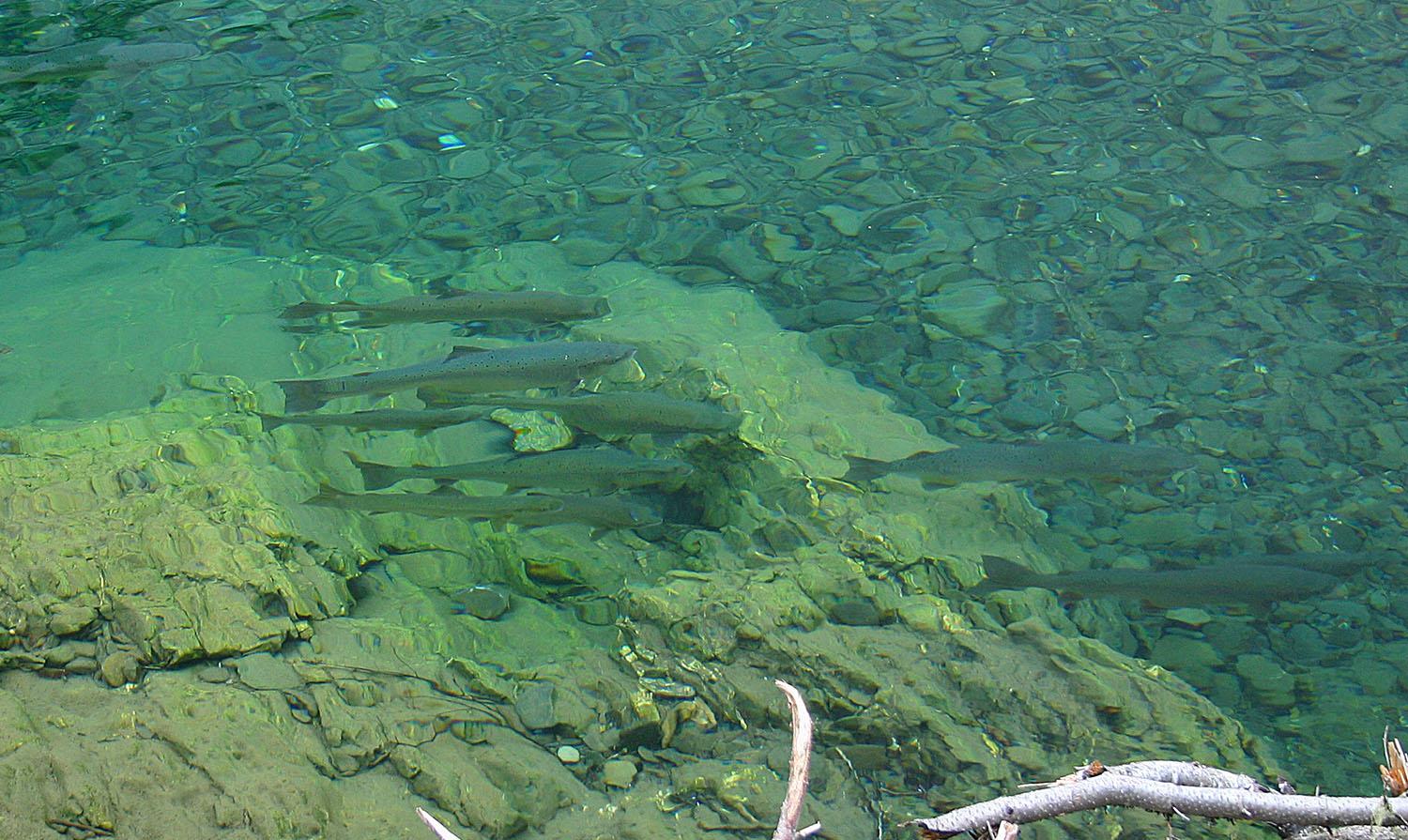
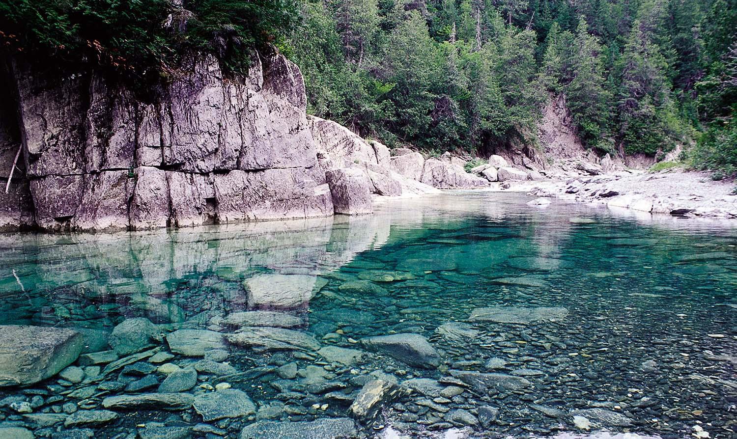
Located at the eastern tip of the Gaspé Peninsula, the Saint-Jean River rises in the Chic-Chocs mountains and meanders on a west-east axis for 121 kilometers before emptying into Gaspé Bay at Douglastown, in the town of Gaspé. Although only a 44 kilometer stretch is suitable for salmon fishing, the river is considered one of the best in Quebec for this activity, due to the beauty of the sites it traverses and the fighting spirit of its salmon.

In fact, as early as the second half of the 19th century, the Saint-Jean enjoyed an international reputation as one of the most sought-after rivers for wealthy salmon anglers from Canada, the United States and Europe. Since 1993, the Société de gestion des rivières de Gaspé has managed and operated the river. The crystal-clear green waters of the Rivière Saint-Jean flow over medium-sized stones and gravel. The river is segmented into a private sector and three sectors with restricted access. The latter includes 82 pools, where wading and boat fishing are available. While the pools are easily accessible from both north and south, the Société de gestion des rivières de Gaspé recommends north access. In sector 4, with some 50 pools, you'll find the renowned Pavillon Saint-Jean, located in a wildlife reserve, which offers anglers all the services required for a top-notch fishing holiday.

For all its assets, the Saint-Jean River is ranked among the 10 best salmon rivers in Quebec.

Services offered

  • Equipment rental

Conditions

Lenght

121 kilometers

Type of fishing possible

Wading or by canoe

Fishing season

May 25 to September 30

Sectors and pools

82 pools in 3 fishing sectors, all with restricted access, including 2 accessible by annual draw and 48-hour daily fishing, as well as the Pavillon Saint-Jean sector (package with accommodation and guide).

Daily catch limit per angler

https://www.quebec.ca/tourisme-et-loisirs/activites-sportives-et-de-plein-air/peche-sportive/

Gaspé peninsula

Carte - Gaspé peninsula

Access to the region

The Gaspé peninsula begins at Sainte-Flavie, where Route 132 splits in two to form a loop of some 844 kilometers around the peninsula, known as the "Tour de la Gaspésie". It's at this municipality that you can choose between the southern and northern itineraries. The region is also accessible by bus, train, ferry and air. Air transport is available via the Gaspé, Bonaventure and Mont-Joli airports.

A fishing paradise

Criss-crossing immense valleys, the 22 salmon rivers of the Gaspé Peninsula are renowned for their crystal-clear waters of a thousand shades of turquoise or emerald, flowing over stony beds. While most of these rivers run north-south or south-north, winding their way through the ancient Appalachian massif of the Chics-Chocs mountains, they all flow through a varied and rich wilderness, thanks to the diversity of their microclimates.

These superb rivers, which welcome both experts and novices to salmon fishing, are easily accessible. What's more, these rivers almost always end up in or next to a small, picturesque coastal municipality.

Because the waters of these rivers come from unspoiled nature, they are of impeccable purity and among the clearest in the world. These qualities, combined with the beauty of the environment and the warm welcome of the Gaspesians, have given the region a worldwide reputation as a fishing paradise.

Image | Gaspé peninsula
Bannière | Image