Fishing the

Aux Rochers River

In brief

Rivière-aux-Rochers

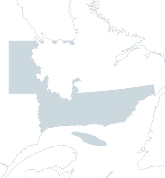
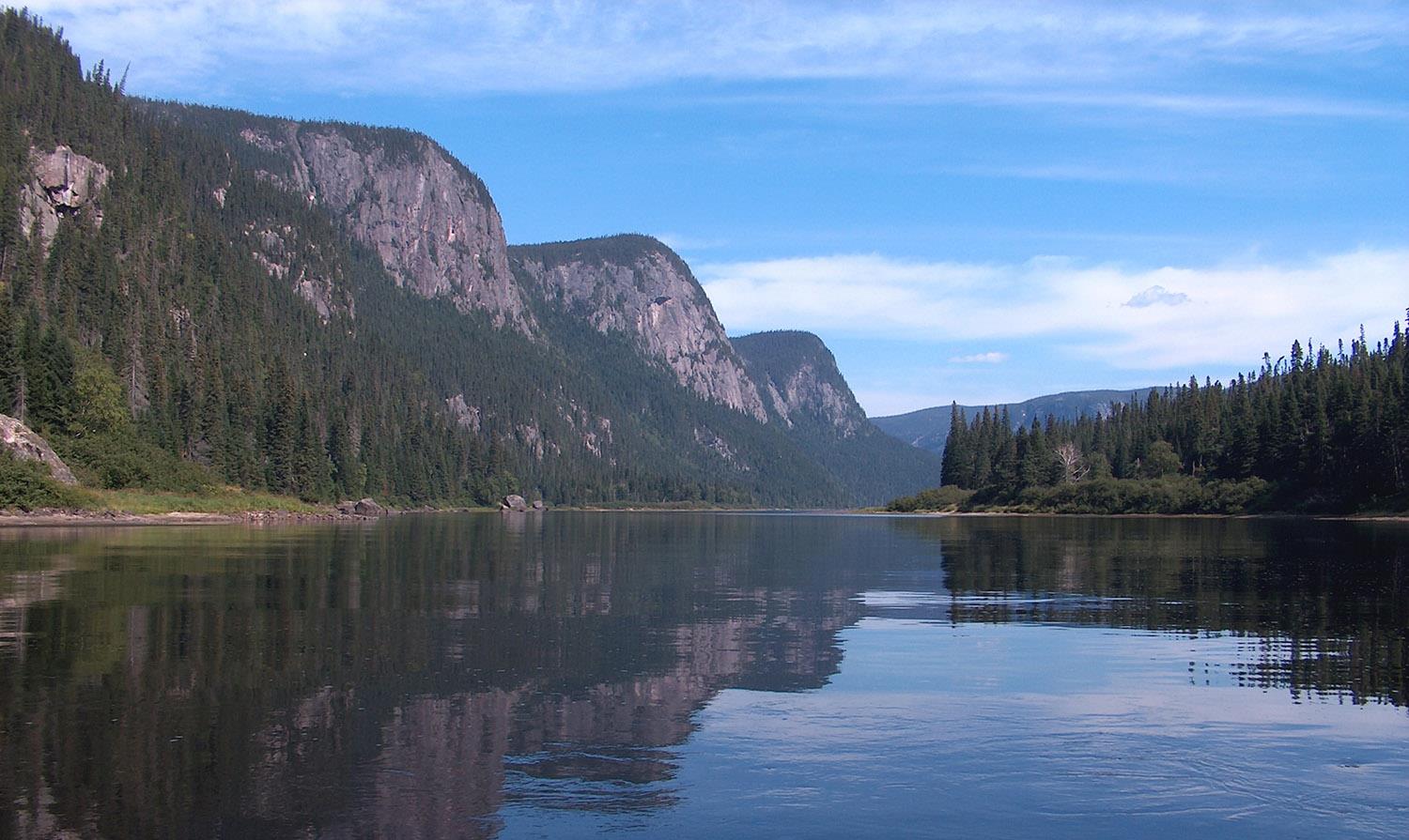
The Rivière-aux-Rochers is located on the north shore of the St. Lawrence River, 62 kilometers west of the city of Sept-Îles and 167 kilometers east of the city of Baie-Comeau. The controlled-access area is highly accessible and developed, and flows completely through the Réserve faunique de Sept-Îles-Port-Cartier and the municipality of Port-Cartier before emptying into the St. Lawrence.

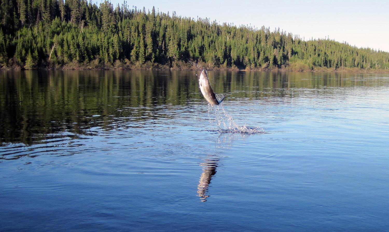
The Rivière-aux-Rochers hasn't always been a salmon-friendly river, with only the first eight kilometers frequented. In 1921, the construction of a dam confined the species to the first kilometer, and from 1922 to 1963, the river was used for log driving. As a result, sport fishing for salmon was banned in 1971. Subsequent efforts to restore the resource included the creation of a capture trap to transport fish further upstream, and fish stocking programs, which allowed fishing to reopen in 1982.

The Association de protection de la Rivière-aux-Rochers manages sport fishing on the Rivière-aux-Rochers, whose waters, ranging from 14 to 19 degrees, are somewhat brownish. The riverbed is rocky, and the average flow is high, at 100 cubic meters per second. There are five fishing sectors: one with open access, one with restricted access and three with unrestricted access, for a total of 56 pools. Fishing is wading and by boat.

Of note: a salmon interpretation site offering a variety of activities, including a visit to the interpretation center and the salmon catching system in full run, observation of the waterfall and sport fishermen in action.

Conditions

River manager

L’Association de protection de la Rivière aux Rochers

Lenght

30 kilometers

Type of fishing possible

Wading and boat

Fishing season

June 1st to September 15

Sectors and pools

56 pools in 1 draw sector, 3 public and 1 open sector (the latter requiring a salmon fishing permit in season)

Daily catch limit per angler

North-Shore Duplessis and Anticosti Island

Carte - North-Shore Duplessis and Anticosti Island

Access to the region

Duplessis: The main highway, Route 138, runs along the St-Laurent, crossing a dozen municipalities as far as Natashquan. The northern hinterland, where the towns of Fermont and Scherfferville are located, is accessible by road from Baie-Comeau and by train from Sept-Îles. Finally, the Basse Côte-Nord region can be reached by boat or plane.

Anticosti: accessible by boat or plane.


Nature at its best

Twenty-seven monumental rivers await you in this vast territory, where nature is grandiose, generous and wild, with salmon renowned for their fighting spirit!

This immense territory includes Duplessis and the paradise island of Anticosti.

In Duplessis, as you travel east along the St-Laurent, you can observe the transformation of the landscape: black spruce hills, peat bogs and marshes gradually give way to sparse vegetation. Everywhere, nature reigns supreme, vast and untamed, pleasing in its ruggedness.

The rivers of the Duplessis region are often majestic in their beauty, flowing through deep valleys that almost always lead to small villages clinging to the coast. Near the coast, their waters have the typical color of fossil resin, while on

In Anticosti, in the middle of the Gulf of St-Laurent, the clarity of the river water is striking. In keeping with this wild environment, North Shore salmon are renowned for their fighting spirit.

Image | North-Shore Duplessis and Anticosti Island
Bannière | Image