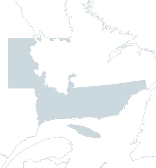
Fishing the

Moisie River

In brief

Moisie River

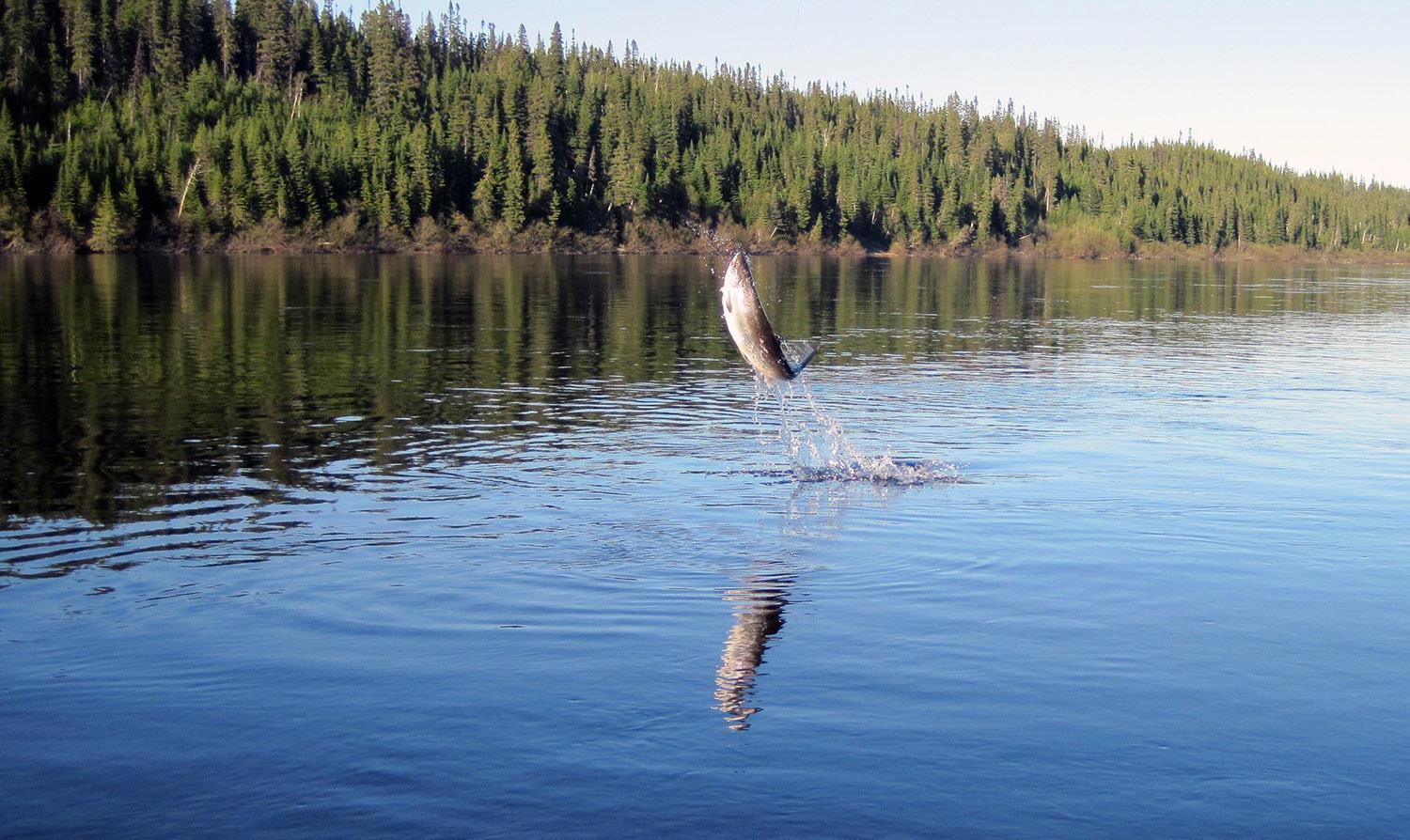
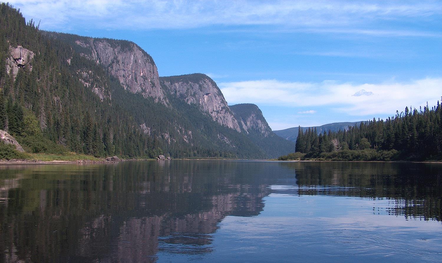
The Moisie River rises in Lake Opocopa, Labrador, at an altitude of 520 metres. It flows south for 410 kilometers, through the giant landscapes of a deep, rugged valley covered with conifers, birch and aspen, before emptying into the Gulf of St-Laurent in the municipality of Moisie, 26 kilometers east of Sept-Îles. With an average current of 490 cubic metres per second, the river's flow is strong and its course punctuated by waterfalls, a hundred or so rapids and many fish-friendly spots. In fact, it's one of the best salmon rivers in all of eastern North America, renowned for their size, strength and fighting spirit.

Sport salmon fishing on the Moisie dates back to 1858, when the land was owned by wealthy Anglophones. Since 1987, fishing activities have been divided between a controlled exploitation zone, managed by the Association de protection de la rivière Moisie, and five other territories, managed by as many outfitters. Salmon fishing is by motorboat only on the Moisie River, and trolling is permitted in the zec sector.

The Zec de la rivière Moisie also includes a campground for salmon fishing, and operates the first 23 km of river. Three sectors are available, including two public sectors (zec 1 and 2) and one restricted sector (Winthrop-Campbell).

Services offered

  • Camping

  • Equipment rental

  • Cottage

  • Bathrooms

  • Ready-to-camp (NATURE tents)

Conditions

Lenght

23 km open for fishing in the sectors managed by the APRM

Type of fishing possible

from motorboats

Fishing season

May 25 to beginning of July

Sectors and pools

33 pools spread over 1 public sector (Zec sector 2) and 1 restricted draw sector (Winthrop-Campbell). Another public sector (Zec sector 1) for fishing almost exclusively by trolling.

Daily catch limit per angler

https://www.quebec.ca/tourisme-et-loisirs/activites-sportives-et-de-plein-air/peche-sportive/

North-Shore Duplessis and Anticosti Island

Carte - North-Shore Duplessis and Anticosti Island

Access to the region

Duplessis: The main highway, Route 138, runs along the St-Laurent, crossing a dozen municipalities as far as Natashquan. The northern hinterland, where the towns of Fermont and Scherfferville are located, is accessible by road from Baie-Comeau and by train from Sept-Îles. Finally, the Basse Côte-Nord region can be reached by boat or plane.

Anticosti: accessible by boat or plane.


Nature at its best

Twenty-seven monumental rivers await you in this vast territory, where nature is grandiose, generous and wild, with salmon renowned for their fighting spirit!

This immense territory includes Duplessis and the paradise island of Anticosti.

In Duplessis, as you travel east along the St-Laurent, you can observe the transformation of the landscape: black spruce hills, peat bogs and marshes gradually give way to sparse vegetation. Everywhere, nature reigns supreme, vast and untamed, pleasing in its ruggedness.

The rivers of the Duplessis region are often majestic in their beauty, flowing through deep valleys that almost always lead to small villages clinging to the coast. Near the coast, their waters have the typical color of fossil resin, while on

In Anticosti, in the middle of the Gulf of St-Laurent, the clarity of the river water is striking. In keeping with this wild environment, North Shore salmon are renowned for their fighting spirit.

Image | North-Shore Duplessis and Anticosti Island
Bannière | Image