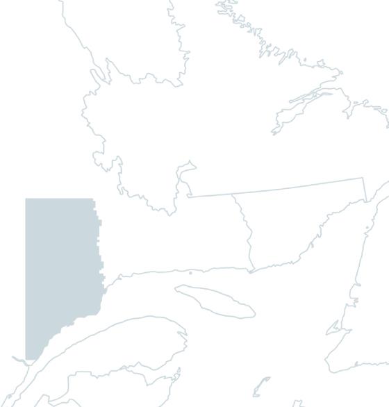
Godbout River
The Godbout River originates at Lake Amariton and is fed by several streams along its 112 kilometre course. Punctuated by numerous rapids and seven impressive waterfalls, it crosses the Manicouagan territory in a south-easterly direction, through spectacular landscapes of wild boreal forest wedged between rocky escarpments. It finally empties into the St-Laurent near the village of Godbout, 54 kilometers east of Baie-Comeau.
The Innu called the Godbout River Uauiapukut, meaning "swirling river". At the time of New France, it was renamed in honor of explorer Nicolas Godbout. Coureurs des bois sold their furs, particularly sea bass, at a trading post on the river. Legendary fisherman, trapper and naturalist Napoléon-Alexandre Comeau is said to have caught 57 salmon on the river on July 9, 1874. In 1980, some 70 kilometers of the river became a zec, managed today by the Comité de protection de la rivière Godbout.
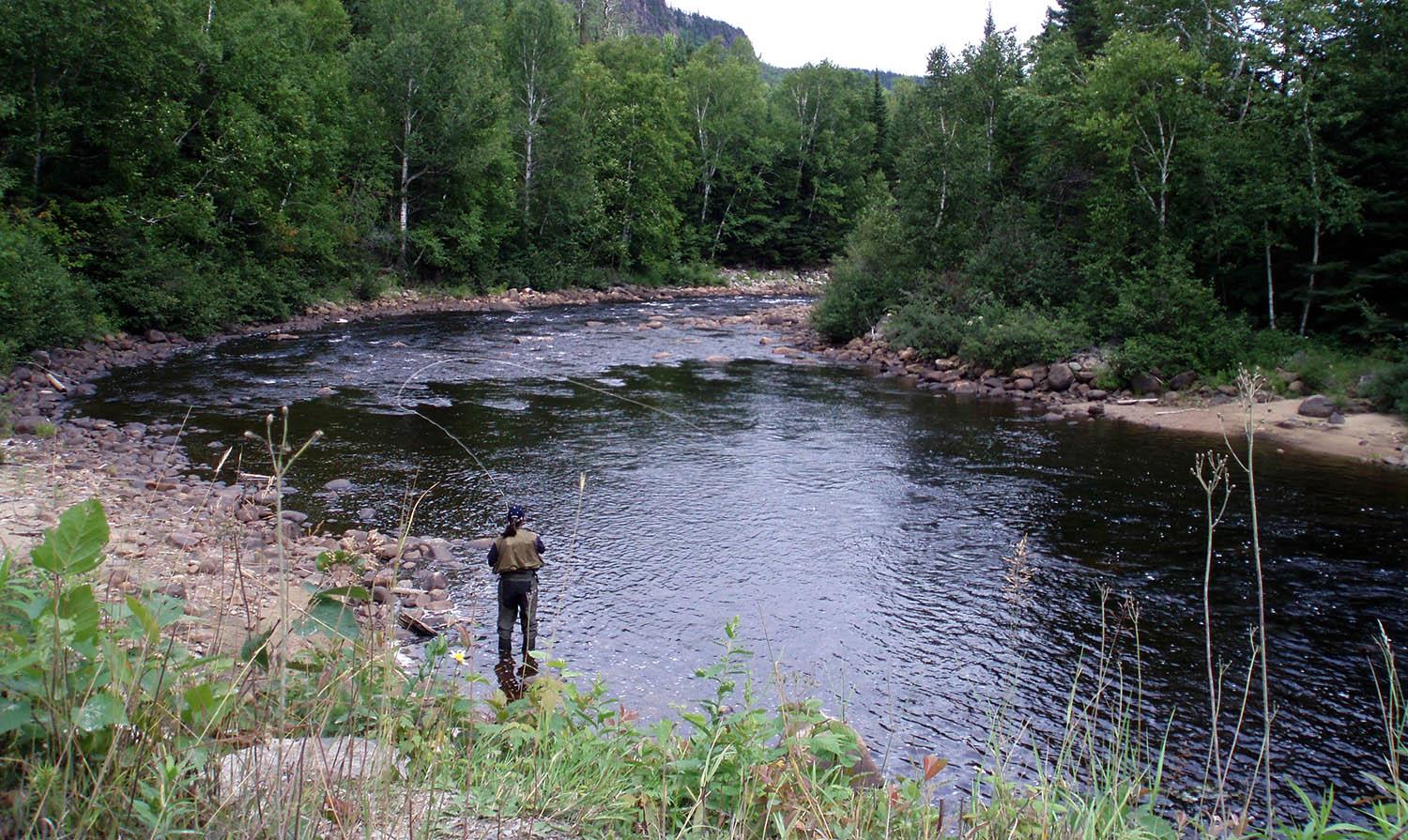
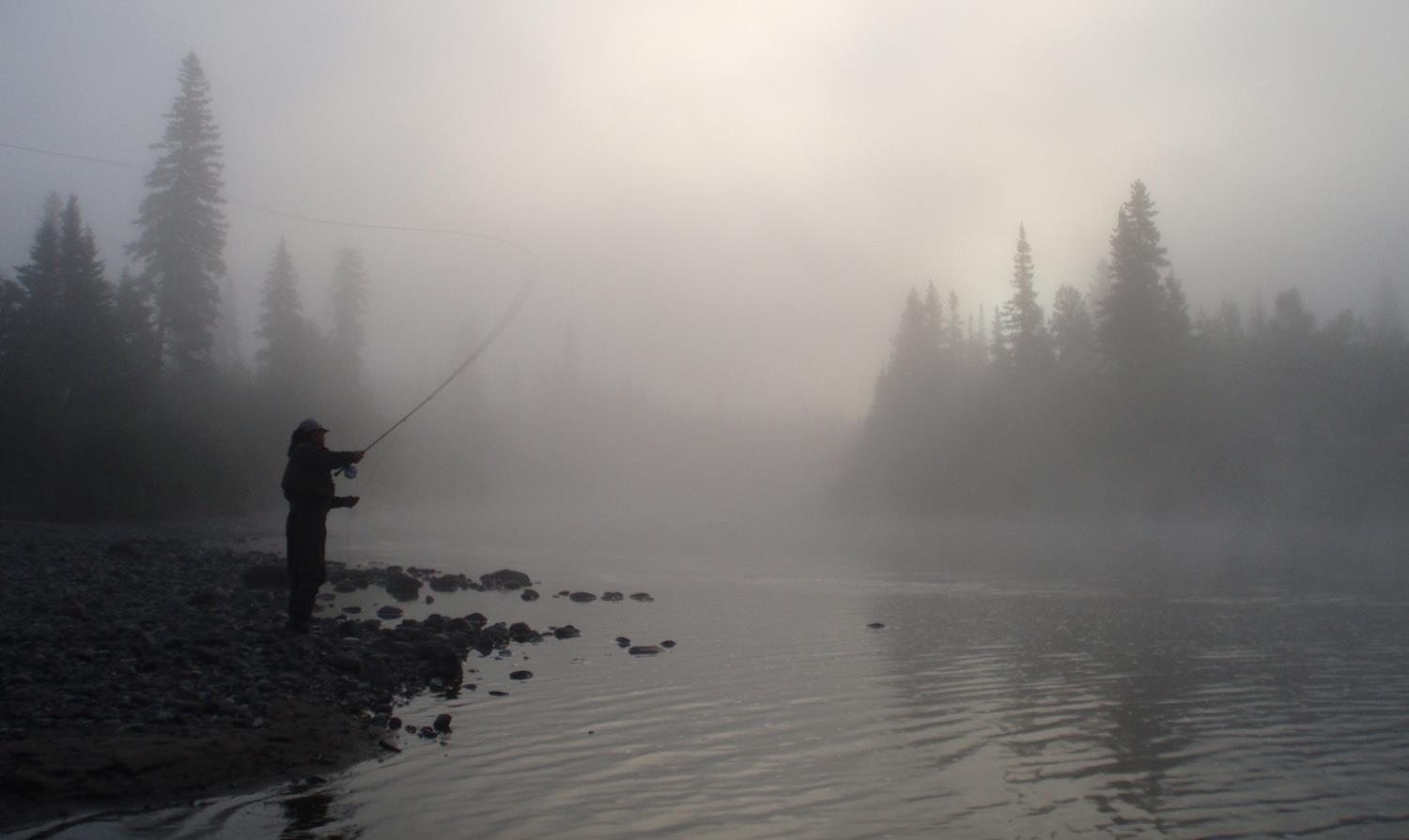
The Godbout River is shallow. The water is clear, the flow medium and the bed dark. In many places, you can admire the salmon leap, whose course is often rugged. A forest road running parallel to the river provides easy access. There are over 50 pools in 3 sectors.
CAP NORD SECTOR
This particular sector is offered by draw only. It stretches from the Route 138 bridge for 3 kilometers through a long canyon. Fishing in this sector is wading or by boat, and a guide is mandatory. Fishing hours are from 1 p.m. to 5 p.m., or from 5 p.m. to 9 p.m., depending on the availability that the private club allows to the Comité de Protection de la Rivière Godbout. The sector is open from June 1 to the end of July, depending on water levels.
TERMS AND CONDITIONS OF ANNUAL DRAWS
The annual Godbout River draw takes place on November 1st.
For the Cap-Nord sector, all the rods will be dedicated to the winners of the annual draw. Winners will be able to reserve 4 poles for distribution as they wish.
For more information on the draws, click here.
To see detailed prizes for the Godbout River, click here.