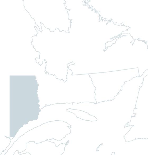
Fishing the

Laval River

Having long produced the largest salmon in Quebec!

In brief

Laval River

Rising from Lac Laval, an impressive 656-hectare body of water, the Rivière Laval flows north-south for 42 kilometers through a deeply incised valley, and empties into the St-Laurent, just east of the municipality of Forestville. The average weight of the salmon is almost double that of those usually caught in other North Shore rivers.

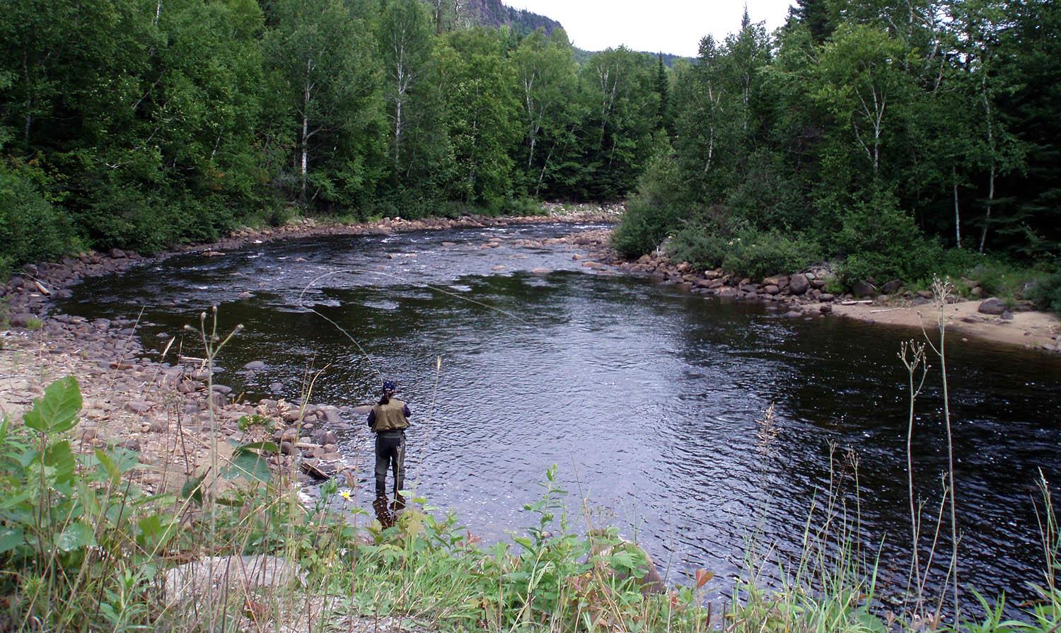
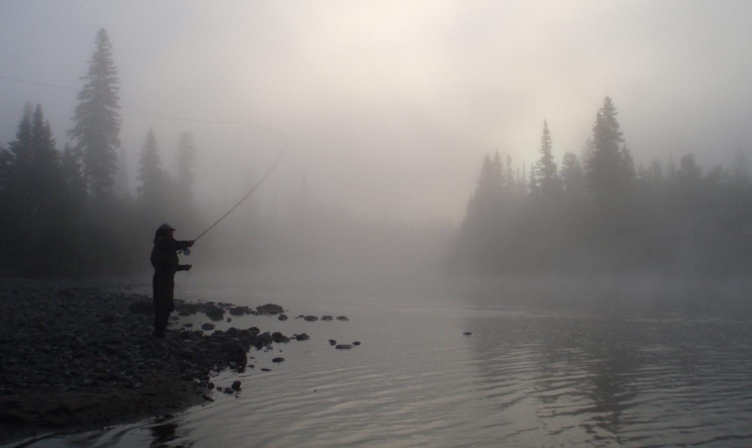
Salmon fishing rights on the Laval River long belonged to the Anglo Pulp and Paper company, before the Quebec government designated the river a wildlife reserve. Since 1980, the Forestville Hunting and Fishing Association has managed the Laval River ZEC. The river's flow is sometimes slow, sometimes fast. Significant changes in level and color occur after rainfall. As the riverbed is rather dark, the water is not very transparent, and some pools are downright black.

The Rivière Laval has 6 sectors, only 1 of which has restricted access, with a total of 67 salmon fishing pools and 45 pools for sea trout, a species found in large numbers and well above average size. You can also fly-fish for pike in Lac à Jacques, which stands out for its imposing size and almost central location on the Laval River.

Services offered

  • Camping

  • Cottage

  • Bathrooms

  • Ready-to-camp (NATURE tents)

Conditions

Lenght

42 kilometers open for fishing

Type of fishing possible

Wading and by boat

Fishing season

June 1 to August 15 (salmon fishing) - August 16 to October 15 (sea trout)

Sectors and pools

67 pools divided into 4 salmon fishing sectors, including 1 restricted acces and 3 public - Trout fishing in 2 sectors for 45 pools

Daily catch limit per angler

https://www.quebec.ca/tourisme-et-loisirs/activites-sportives-et-de-plein-air/peche-sportive/

North-Shore Manicouagan

Carte - North-Shore Manicouagan

Access to the region

The main access route to the towns along the Manicouagan region's coastline is Route 138, also known as the Whale Route, which runs east along the St-Laurent for some 300 kilometers. Route 172, along the Saguenay Fjord, takes you to Sacré-Coeur, the last stop in the region. You can get there by ferry from the south shore of the St-Laurent, by bus or by train.

Magnificent nature

Four rivers flow through a region bathed by thousands of streams and covered by dense forests. The water of these salmon rivers is pure and cold, much to the delight of anglers, who find in the Manicouagan region a queen of nature and rivers brimming with fish and energy. The latter are easily accessible via forestry roads that run parallel to most of the rivers or follow their course.

The water in Manicouagan's salmon rivers is generally amber, flowing through deeply incised valleys surrounded by mountains offering breathtaking panoramas. Flow is often rapid and changeable, sometimes fluctuating significantly after heavy rainfall.

In the most turbulent parts of the current, Atlantic salmon are a guarantee of prowess for anglers. These waters are also home to salmonid cousins such as the anadromous brook trout (sea trout), which promise good catches for anglers. For all these reasons, Manicouagan combines a great wilderness adventure with top-quality fishing, in a calm and enchanting territory.

Image | North-Shore Manicouagan
Bannière | Image