Fishing the

Sainte-Marguerite River

Breathtaking wilderness!

In brief

Sainte-Marguerite River

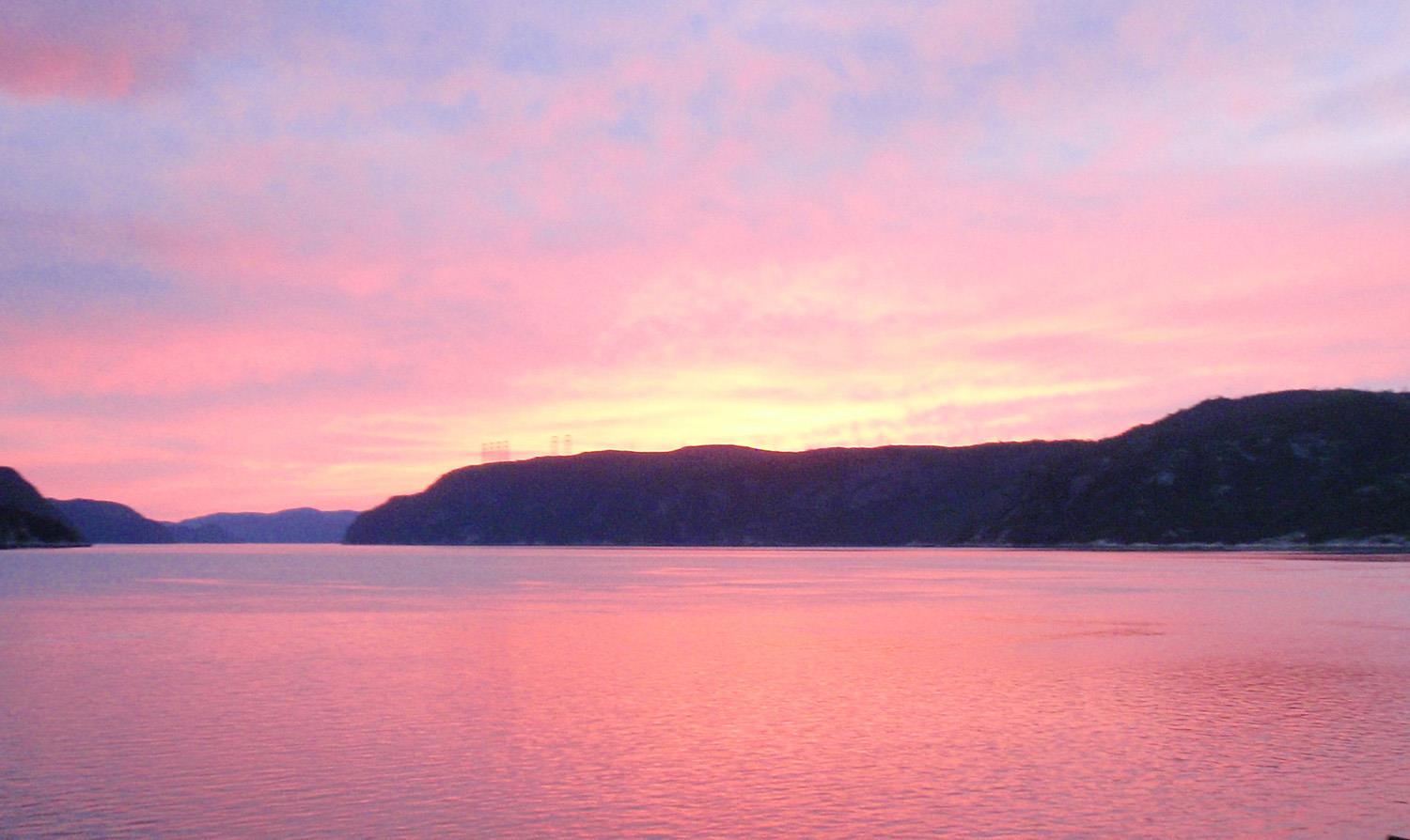
The Rivière Sainte-Marguerite begins its 100 kilometer journey from Lac Sainte-Marguerite, at an altitude of 678 meters, in the Monts Valin. Clear and narrow, it then flows through a steep, wild valley between the municipalities of Sacré-Coeur and Saguenay, first in a north-westerly direction, then south-westerly for 15 kilometers before turning abruptly south-easterly. It then runs along the Saguenay Fjord for 60 kilometers before emptying into Sainte-Marguerite Bay.

The history of sport salmon fishing on the Saint-Marguerite River began in 1860, when a private club was formed, whose assets are held today by the Corporation de pêche Sainte-Marguerite. In 1980, the river was incorporated as a zec, and the Association de la rivière Sainte-Marguerite became the salmon-fishing manager, ending the exclusive management rights of the Corporation de la rivière Sainte-Marguerite. In 1995, the Centre interuniversitaire de recherche sur le saumon atlantique moves to the river's banks.

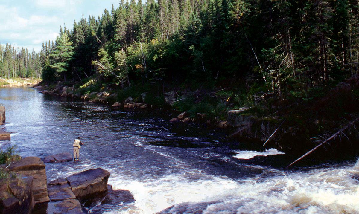
The Sainte-Marguerite River is divided into three branches, with some 100 pools in 10 sectors, including 7 sectors with restricted access. Some pools are privately owned by the Corporation de pêche Sainte-Marguerite or by local residents. Fishing is mostly done by wading or by boat, depending on the pit. Route 172 runs along the river for some 55 kilometers, in sectors 1 to 4. There are also salmon-watching sites.

The river also offers exceptional habitat for sea trout.

Services offered

  • Equipment rental

  • Camping

  • Guide

  • Cottage

  • Companion

Conditions

River manager

Association de la rivière Sainte-Marguerite

Lenght

55 kilometers open for fishing

Type of fishing possible

Mainly wading

Fishing season

June 1 to September 15 (salmon) and September 15 to October 15 (blue sea trout)

Sectors and pools

100 pools divided into 10 sectors for salmon and sea trout fishing, including 7 restricted access draw sectors and 3 public sectors

Daily catch limit per angler

https://www.quebec.ca/tourisme-et-loisirs/activites-sportives-et-de-plein-air/peche-sportive/

Saguenay-Lac-St-Jean

Carte - Saguenay-Lac-St-Jean

Access to the region

Route 175 is the main road link between Saguenay and Lac-Saint-Jean and the rest of Quebec. The region is also accessible by air, rail and sea.

Majestic scenery

Four salmon rivers, sometimes fast-moving, sometimes slow-flowing, run alongside the rugged mountains of the majestic Saguenay Fjord and through picturesque villages. These majestic waterways criss-cross valleys in the heart of breathtaking scenery and are easily accessible, as they are never far from towns and regional tourist destinations.

The water features ochre, red earth and brown reflections, and offers varied fishing conditions from river to river. Beginners can try their hand at wading in low-flow areas, ideal for an introductory fly fishing day. As for initiates and experienced anglers, they'll need a good dose of daring to tackle the salmon in sectors where the water is livelier.

Some of the region's rivers are renowned for anadromous brook trout fishing. Anglers will also appreciate Saguenay-Lac-Saint-Jean's wide range of tourist attractions, from accommodations and fine dining to activities such as marine mammal watching.

Image | Saguenay-Lac-St-Jean
Bannière | Image