Fishing for salmon in the

North-Shore

Manicouagan

North-Shore Manicouagan

Carte - North-Shore Manicouagan

Access to the region

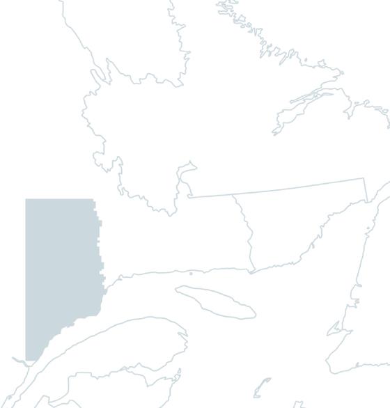
The main access route to the towns along the Manicouagan region's coastline is Route 138, also known as the Whale Route, which runs east along the St-Laurent for some 300 kilometers. Route 172, along the Saguenay Fjord, takes you to Sacré-Coeur, the last stop in the region. You can get there by ferry from the south shore of the St-Laurent, by bus or by train.

Magnificent nature

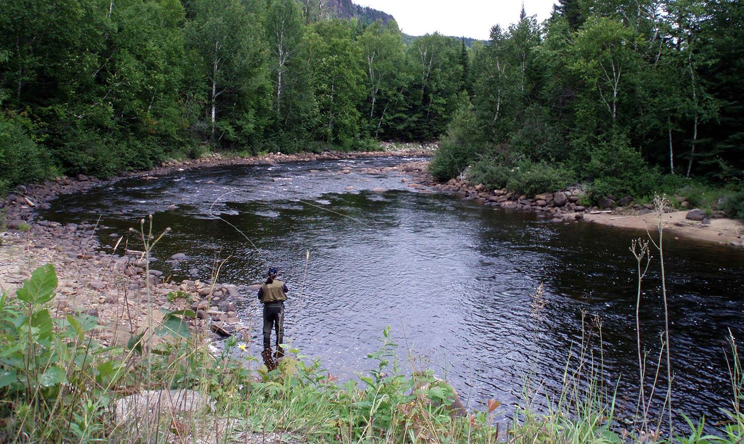
Four rivers flow through a region bathed by thousands of streams and covered by dense forests. The water of these salmon rivers is pure and cold, much to the delight of anglers, who find in the Manicouagan region a queen of nature and rivers brimming with fish and energy. The latter are easily accessible via forestry roads that run parallel to most of the rivers or follow their course.

The water in Manicouagan's salmon rivers is generally amber, flowing through deeply incised valleys surrounded by mountains offering breathtaking panoramas. Flow is often rapid and changeable, sometimes fluctuating significantly after heavy rainfall.

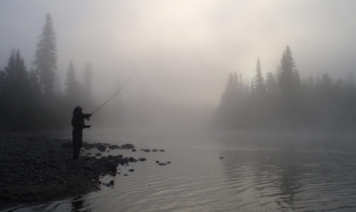
In the most turbulent parts of the current, Atlantic salmon are a guarantee of prowess for anglers. These waters are also home to salmonid cousins such as the anadromous brook trout (sea trout), which promise good catches for anglers. For all these reasons, Manicouagan combines a great wilderness adventure with top-quality fishing, in a calm and enchanting territory.

Image | North-Shore Manicouagan